General Information
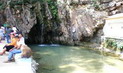
Phaya Pipak Forest Park located in Yang Hom Sub-district, Khun Tan District, Chiang Rai Province, situated in Pah Huay Deang National Reserved Forest, Huay Tan Forest and Huay Krai Forest, covered the area of 3,750 rais. The Royal Forest Department declared this forest park on May 4, 1999.
Topography
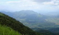
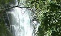
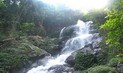
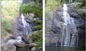
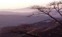
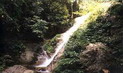
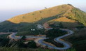
It is a high mountain with the beautiful scenery of Doi Pha Mon Mountain Range. It is approximately 940-1,218 metres above the average sea level. Its highest peak is Doi Khun Huay Jedi Mountain�s peak where the average slope is 40%.
Flora and Fauna
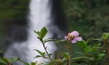
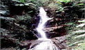
It is the Mixed Deciduous Forest. The Hill Evergreen Forest is sometimes found around the Khun Huay Jedi Mountain�s Peak. Flora found consist of Mountain ebony tree (Bauhinia variegata), Fagaceae genus, black plum, Symplocaceae genus, Mammea siamensis, Michelia floribunda and Aromadendron elegans. Ground flora found consist of Costus globosus, Imperata cylindrica, Themeda triandra, Fimbristylis schoenoides, Fuirena umbellata, YA MAI KWAD, YA LAO, various moss and fern
species.
Fauna found consist of wild pig, palm civet, civet, wild cat, Malayan flying lemur, porcupine, mongoose, bat, squirrel, flying squirrel, Siamese hare, Indochinese ground squirrel and so
on.
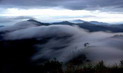
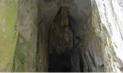
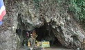
Doi Phaya Pipak (or Phaya Pipak Mountain)
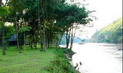
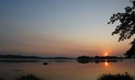
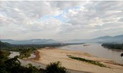
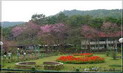
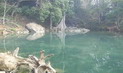
Doi Phaya Pipak (or Phaya Pipak Mountain) is a high mountain where has a beautiful scenery. When the sun is rising in the winter time, from the top of the mountain you can see the ocean mist. And on the shining day with a clear blue sky you will be able to see the Phu Chii Pha Mountain and Pha Tang Cliff as well as a beautiful Ing River from the west. In February, the Siew flowers (bauhinia, Desmodium renifolium) will be blossoming covering all over the
area.
Doi Phaya Pipak (Phaya Pipak Mountain)
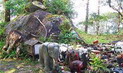
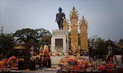
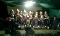
Doi Phaya Pipak (Phaya Pipak Mountain) is a historical site concerning the battle between government and the Communist Part of Thailand. In 1982, His Majesty the King Bhumibol Adulyadej, Her Marjesty the Queen Sirikit, HRH Princess Sirindhorn and HRH Princess Somsawalee had presided over the place to visiting soldiers and people who lived in this area. Beside, His Majesty the King was generously stamping his footprints on the plaster prepared aiming to strengthen spiritual courage among soldiers and local
people.
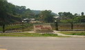
Contact Address
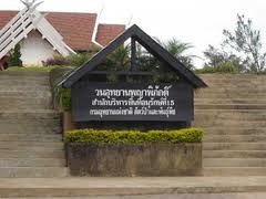
Phaya Phiphak Forest Park
Yang Hom Sub-district, Amphur khuntan Chiang Rai Thailand 57340
Tel. 0 5371 4914 Fax 0 5374 4961
How to go?
By Car
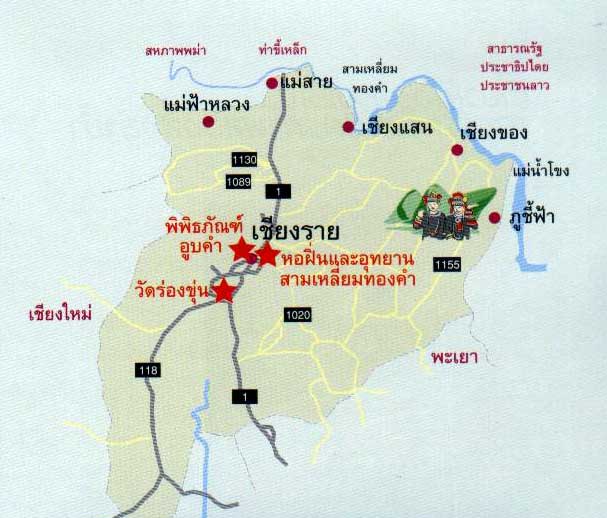
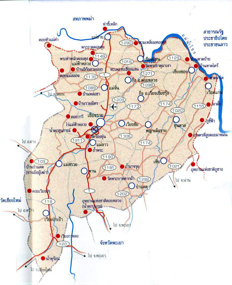
From Chiang Rai town, you can turn left at Mae Korn intersection and drive further on the Highway no. 1208. After that turn left to Phaya Mengrai District and take the Highway no. 1152 through Ban Sob Pao-Phaya Mengrai District-Ban Ta-Khun Tan District route. Then turn right at the milestone no. 90 and take the route 3123 to Phaya Pipak and turn to the road leading to Phaya Pipak Mountain.


 �����ŷ����


 ต้อนรับเดือนศักดิ์สิทธิ์ ด้วยแพ็คเกจ “รอมฎอน ดีไลท์” ตั้งแต่วันนี้ ถึง 8 มิถุนายน 2562")