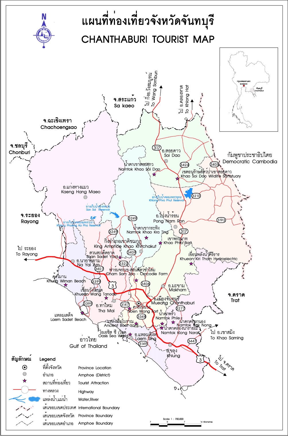
Wat Phlup ЗСҙҫЕСәҫЕТ
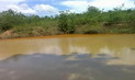
Located at Ban Samet Ngam about 8 kilometres to the southwest of the provincial town is an archaeological site
where remains of many old vessels have been found. The vicinity is also dotted with a number of square-
shaped basins along the shore indicating they might have been a boat -building site. It is believed that the
forces of King Taksin constructed their war vessels around here in preparation to liberating Ayutthaya after
its fall. at Tambon Bang Kacha to the southwest of town was the site of an old community during the late
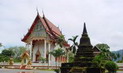
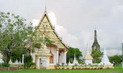
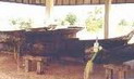
Ayutthaya period. Special features are two ancient pagodas of different styles and an old Thai wooden pavilion.
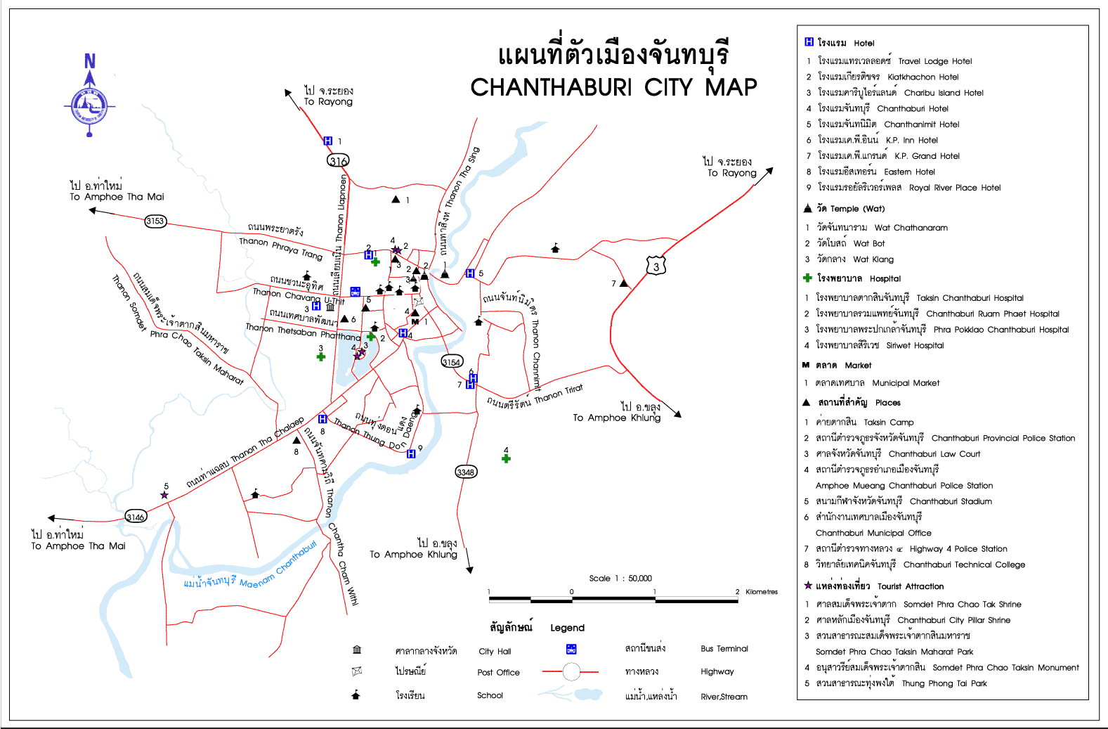
The ancient site of Khai Noen Wong, also at Tambon Bang Kacha, was established as the town in circa 1834
during the reign of King Rama III. The town was moved from Ban Lum to this location because of its high grounds
which were more suitable for defensive purposes against the invading Vietnamese. The laterite walls and bricks
from the old town were also dismantled and moved to the new site. A serve drought during the reign of King Rama V forced its return to the original site at Ban Lum.
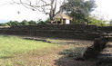
The old town at Khai Noen Wong was square-shaped with extensive laterite walls mounted with large cannons.
Each side had its own ramparts and defensive moats. It was regarded as a powerful military camp of the time.
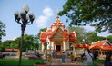
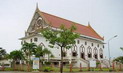
The town's principal temple was Wat Yothanimit.
Soon to be established as a national maritime museum, the Underwater Archaeological Office is located within
Khai Noen Wong specialising in exhibits on Thailand's merchant marine and items discovered from underwater
archaeological explorations from all over the country. There are also exhibits of ancient sailing routes and
products. An exhibition chamber deals with the history and culture of the people of Chanthaburi.
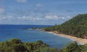
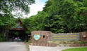
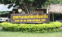
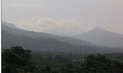
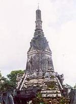
Using the Tha Mai-Bang Kachai route cars can easily access the Khao Laem Sing Forest Park, some 25
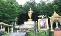
kilometres from Tha Mai. The route passes through Wat Khao Laem Sing right up to the park headquarters on
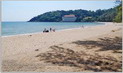
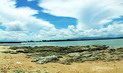
a hill. Alternatively, visitors can charter a boat from Laem Sing beach to Ao Krathing Beach, just 400 metres
away, and walk up to the park. Camping is allowed on application. Khao Laem Sing is a small hill 172 metres
above the sea. Located to the east of the mouth of the Chanthaburi River, it has a cape jutting into the sea which
looks like a sprawling lion. There is an old fortification called Pom Phairi Phinat built during the reign of King
Rama III.
|


 аё•а№үаёӯаёҷаёЈаёұаёҡа№Җаё”аё·аёӯаёҷаёЁаёұаёҒаё”аёҙа№ҢаёӘаёҙаё—аёҳаёҙа№Ң аё”а№үаё§аёўа№Ғаёһа№Үаё„а№ҖаёҒаёҲ вҖңаёЈаёӯаёЎаёҺаёӯаёҷ аё”аёөไаёҘаё—а№ҢвҖқ аё•аёұа№үаёҮа№Ғаё•а№Ҳаё§аёұаёҷаёҷаёөа№ү аё–аё¶аёҮ 8 аёЎаёҙаё–аёёаёҷаёІаёўаёҷ 2562")