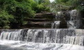
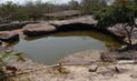
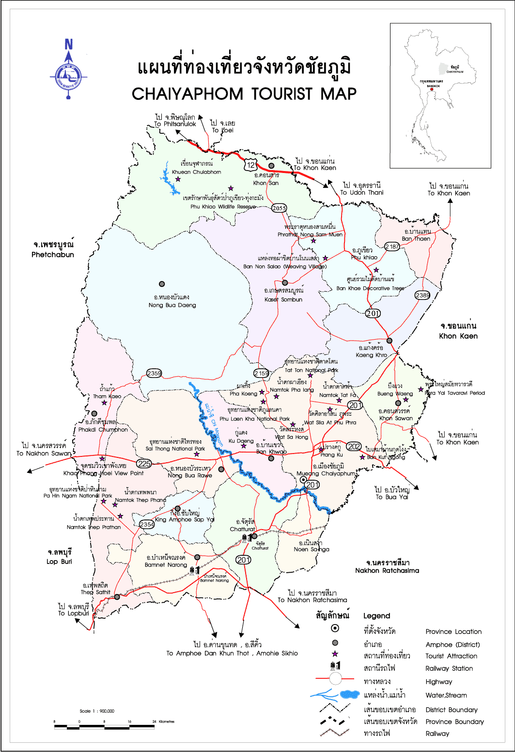
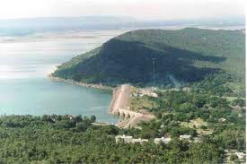
Chulabhorn Dam (Nam Phrom Dam) рЂзшЭЙЈиЬвРУГь
is in Tambon Thung Lui Lai. 40 km. southwest of the town hall. This is a hydroelectric dam built by the
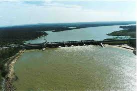
Electricity Generating Authority of Thailand (EGAT) in 1970 and completed in 1972. The dam is brooks Lam
Nam Phrom which flows from watersheds in Phu Khiao Wildlife Reserve and Nam Nao National Park which
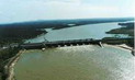
is a mountain range dividng Chaiyaphum and Petchabun. Chulabhorn Dam is an earth - filled sam lilke Sirikit
Dam. It is 700 metres long, 70 metres high and 8 metres wide. It has a water capacity of 188 million cubic
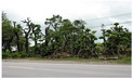
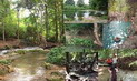
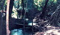
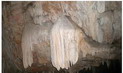
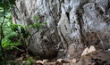
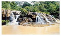
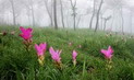
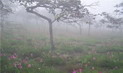
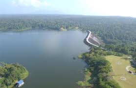
metres and can generate 140 million units of electricity. The dam is surrounded by high mountains and dense
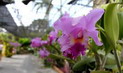
jungle. A cool climate prevails throughout the year. Part of the beautiful scenery includes a royala royal
residece and an experimental cold-weather crop growing center. Guest houses are available to tourists.
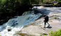
Reservations can be made by contacting tel. 043-224133 ext. 2287. There are also boats for rent to view
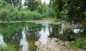
the dam. Sala Daeng north of the dam is a pavilion which is a perfect retreat for those wanting some peace
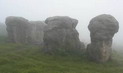
and quiet. Sala Loop Kuan sits high above the dam and offers a panoramic view of nearby areas. One can
view the horseshoe-shaped mountain covered by mists, the valley below and the generating plan from here.
On a clear day one can also Phu Kradung mountain far away. From Amphoe Phu Khiao, turn right onto Highway
No. 201 (Phu Khiao-Chum Phae). Upon reaching Nong Song Hong intersection, turn left onto Highway No. 2055.
The distance from Amphoe Muang is 120 km.
|


 рИрЙрИрИрИЃрИБрИрЙрИрИЗрИрИрИЈрИБрИрИрИДрЙрИЊрИДрИрИрИДрЙ рИрЙрИЇрИЂрЙрИрЙрИрЙрИрИ трИЃрИрИЁрИрИрИ рИрИЕрЙрИЅрИрЙт рИрИБрЙрИрЙрИрЙрИЇрИБрИрИрИЕрЙ рИрИЖрИ 8 рИЁрИДрИрИИрИрИВрИЂрИ 2562")