General Information
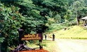
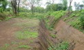
Klong Tron National Park is situated in an approximate area of 518.80 square kilometers, covering the areas of virgin forests in Thongsaengkhan District, Nam Pad District of Uttaradit Province. Apart from large canals and gullies, the National Park also has beautiful natural sightseeing spots including Huai Niam Waterfall, Kokmonkaew Waterfall, Tham Jan, Tham Jedee, Tham Suadao, Tham Phatang, Kao Phumiang, as well as cliffs, and provides recreational
facilities.
Topography
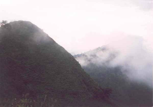
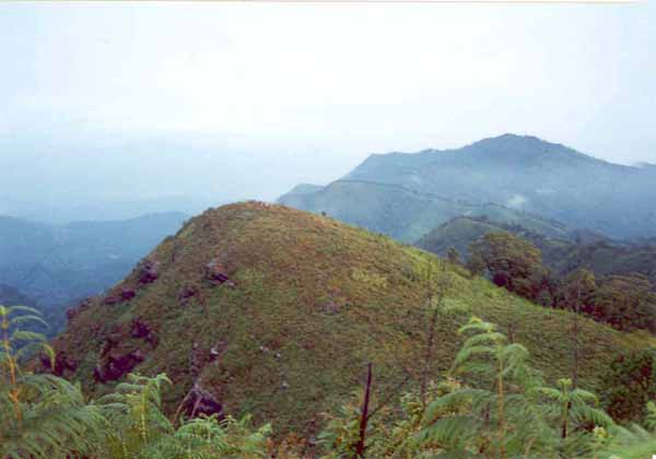
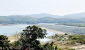
The geographical features of the National Park consist of high and low mountains. Major mountains of the National Park include Kao-phumiang, Kao-kwumrua, Kao-ngairua, Kao-samliam, Kao-yuak, Kao-thanon, Kao-daed, Kao-maipha, Kao-takbon, Kao-namyai, Kao-phakkhuang, Kao-jan. Kao-phumiang is the highest mountaintop (1,500 meters above the medium sea level) located in the east of the National Park, and being the source of major gullies flowing westward into the Nan
River.
Climate
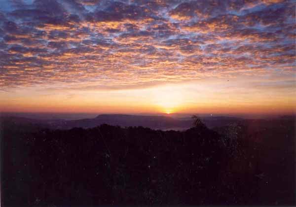
Regarding the weather condition in the areas of the National Park, in summer (March-April), the weather is relatively hot for long periods of time (the lowest temperature is at 12.9�aC, meanwhile, the highest temperature is at 42.6�aC); in winter (October-February), the weather is cold; and in the rainy season, there are moderate rains for short periods of
time.
Flora and Fauna
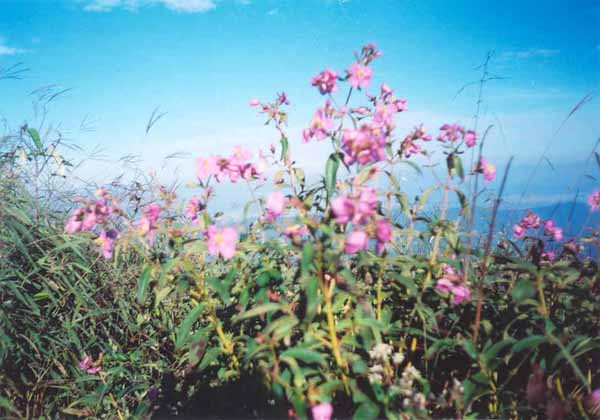
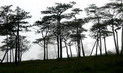
There are various kinds of forests within the areas of the National Park, including arid, evergreen forests, virgin forests, pinery, mixed forests, and timber forests. Major plants include Irvingia malayana Oliv. (Krabok), Hopea ferrea Pierre (Takienhin), Anisoptera costata (Krabak), Indian mahogany, Pometia pinnata (Sompong), rubber trees, Malacca trees, Michelia alba, teak, Xylia xylocarpa (redwood plants), Leguminosae (Pradoo), Lagerstroemia (Tabaek), Schleichera oleosa (Takraw), Vitex pinnata Linn. (Teen Nok), Terminalia chebula (Samor Thai), Shorea obtusa Wall. (Teng-rung), Dipterocarpus intricatus (Hiang), Dipterocarpus tuberculatus (Pluang), Cratoxylon pruniflorum (Tew), cratoxylon formosum (Taew), and different kinds of Lithocarpus cantleyanus
(Kor).
Wild animals found in the National Park include goral, bears, Muntiacus Muntjak, mouse deer, clouded leopards, fishing cats, masked palm civets, wild rabbits, wild boars, monkeys, loris, mongooses, squirrels, tree shrews, porcupines, and different kinds of
reptiles.
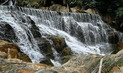
Klong Tron Waterfalls
Originating from Klong Tron Gully, the Klong Tron Waterfalls consist of two separate waterfalls, including a 4-step, 20-meter-high waterfall, situated approximately 1,500 meters away from the other 30-meter-high waterfall. Tourists have to access the Waterfalls by walking due to unavailability of vehicle
routes.
Huai Sai Waterfall
Huai Sai Waterfall is a single-step, 35-meter-high waterfall, originating from Huai Sai (or Huay Kwumrua) Gully, and situated in Ban Bangkhanpom. The Waterfall cannot be accessed by
car.
Phu Miang Waterfall
Phu Miang Waterfall is an 11-step waterfall (each step of the Waterfall is approximately 30-45 meters high), originating from Huai Miang Gully, and situated between Ban Bangkhampom and Ban Huai Kom (approximately 8 km away from the village). The Waterfall does not have the flowing water throughout the year. And the Waterfall cannot be accessed by
car.
Huai Kom Waterfalls
Huai Kom Waterfalls are situated in the middle part of Huai Kom Gully, Ban Huai Kom, Tambol Namphai, Nam Pad District. The Waterfalls consist of three waterfalls, including a single-step, 15-meter-high waterfall; a 2-step, 15-meter-high waterfall (situated approximately 200 meters away from the first waterfall); and a single-step, 20-meter-high waterfall (situated approximately 30 meters away from the second waterfall). The Waterfalls are situated approximately 5 km away from Ban Huai Kom. Tourists have to access the Waterfalls by walking due to unavailability of vehicle
routes.
Huai Niam Waterfall
Huai Niam Waterfall is a 3-step, 5-meter-high waterfall, situated in the middle part of Huaysab Gully (locally called �Huai Niam� Gully). Tourists have to access the Waterfall by walking approximately 3 km from Ban Huai Niam due to unavailability of vehicle
routes.
Pha Phu Miang
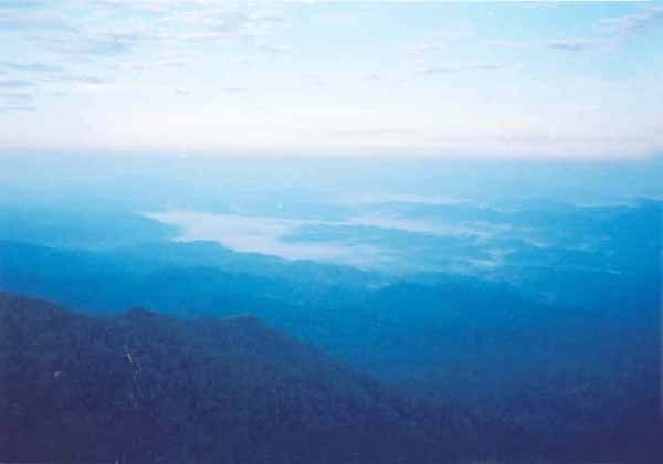
Pha Phu Miang is a beautiful and unique large-sized cliff, situated between Ban Tonkhanun and Ban Bangkhampom (approximately 10 km away from the village). When overlooking from the cliff, tourists are able to have a view of the whole village. Tourists have to access the cliff by walking due to unavailability of vehicle
routes.
Chan Cave
Tham Jan is a medium-sized, 15-meter-wide cave, situated in the right-hand side of Klongtron National Conserved Forest, within the areas of Tambol Phak-khwa and Tambol Thongsaengkhan, at the depth of 200 meters from the cave entrance. The Cave cannot be accessed by
car.
Tham Wua Daeng and Tham Sua Dao
Tham Wua Daeng and Tham Sua Dao are small-sized caves, situated approximately 200 meters away from Thamjan. The caves have narrow entrances and many branch lines
inside.
Kaojedee
Kaojedee
is a beautiful and unique pagoda-shaped stony mountain, situated approximately 500 meters away from
Thamjan.
Contact Address
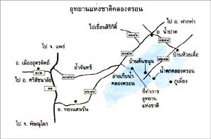
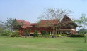
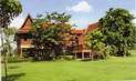
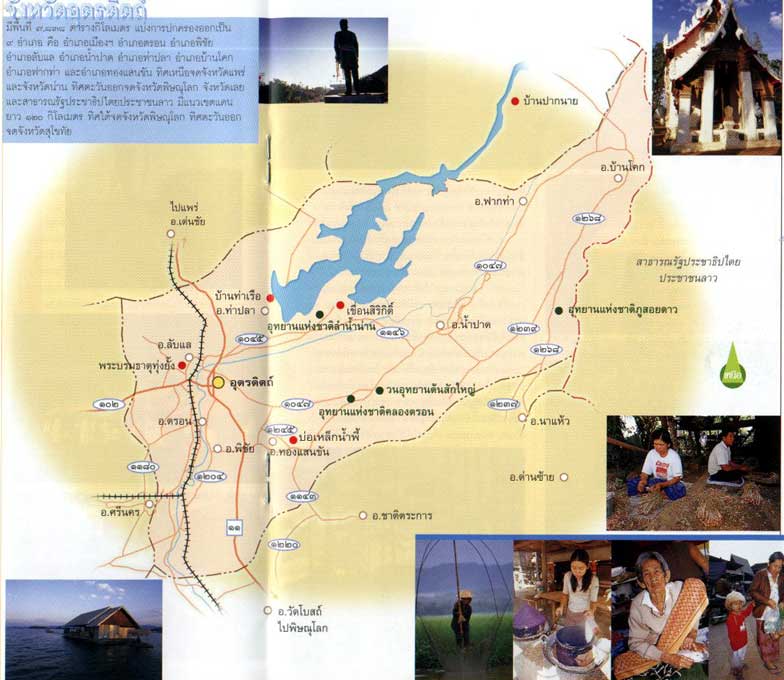
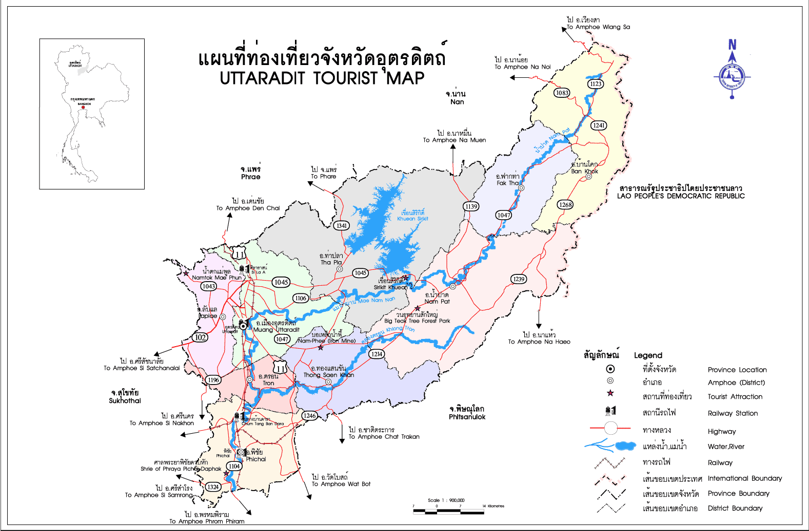
Khlong Tron National Park
Mu 3, Nam Khai Sub-district, Amphur Nam Pad Uttaradit Thailand 53110
How to go?
By Car
From Muang District of Uttaradit Province, you may take Highway No.11 to Ban Nam Ang of Tron District, and take Highway No.1047 to Nam Pad District (Total distance from Muang District to Nam Pad District is 70
km).
Regarding the alternative route from the city of Uttaradit to Nam Pad District, you may take Highway No.1045 for 68 km. From the Nam Pad District Office, take Highway No.1212 (Huay Dua-Ban Pear) to Ban Ton Khanun, Moo 3 Tambol Namphai, Nam Pad District until reaching the national park�s headquarter. (Total distance from the Nam Pad District Office to the National Park�s Office is 23
km).